
C-MAP Reveal Coastal Charts for Marine GPS Navigation with Shaded Relief, Hi-Res Bathymetry, Vectors, Custom Depth Shading

$249.90
Features
SHADED RELIEF: Bring the world around you to life, with 3D rendered land and underwater elevation – including areas of Ultra-High-Res Bathymetric imagery – a game-changer for anglers and divers.
FULL-FEATURED VECTOR CHARTS: Making navigation easy by giving you accurate, up-to-date vector chart detail derived from official Hydrographic Office information.
HIGH-RES BATHY: Helps you identify shallow areas, drop-offs, ledges, holes or humps. Now includes compiled and quality-controlled Genesis detail as part of singular HRB layer.
CUSTOM DEPTH SHADING: Set a clear safety depth, maintain a paper-like view or create your own custom shading.
DYNAMIC RASTER CHARTS: Providing the traditional chart look and feel, coupled with easy access to all objects on the chart.
Details
Transform your marine GPS navigation experience with C-MAP Reveal Coastal Charts! Dive deep into the world around you with shaded relief that brings underwater and land elevation to life. Say goodbye to the guesswork with 3D rendered areas of Ultra-High-Res Bathymetric imagery, a true game-changer for anglers and divers.
Navigation made simple and accurate! C-MAP Reveal Coastal Charts provide full-featured vector charts with up-to-date detail sourced from official Hydrographic Office information. Identify crucial features like shallow areas, drop-offs, ledges, holes, and humps effortlessly with the high-res bathymetry included in these charts.
Customize your navigational experience like never before! Set safety depths, maintain a paper-like view, or design your own custom depth shading with C-MAP Reveal Coastal Charts. Enjoy the dynamic raster charts that provide a traditional chart look and feel, while granting you easy access to all objects on the chart.
Discover More Best Sellers in Marine GPS Chartplotters
Shop Marine GPS Chartplotters
 Marine GPS Chartplotters - Raymarine E02013 E120 12.1-inch Waterproof Navigation Display and Marine GPS/Chartplotter With Fishfinder

Garmin VUS010R Southeast Florida BLUECHART G2 Vision
 Marine GPS Chartplotters - Garmin VUS010R Southeast Florida BLUECHART G2 Vision
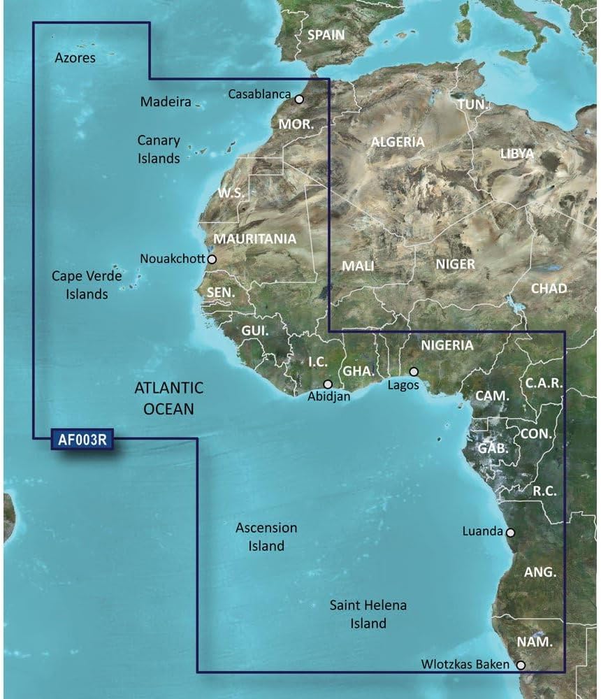
Garmin Bluechart G2 - HXAF003R - Western Africa - microSD/SD
Marine GPS Chartplotters - Garmin Bluechart G2 - HXAF003R - Western Africa - microSD/SD

Jabsco 18590 Series Dc Macerator Pump
 Marine GPS Chartplotters - Jabsco 18590 Series Dc Macerator Pump

Furuno GP1971F, 9" Plotter/Chirp Sounder, Black, Standard
Marine GPS Chartplotters - Furuno GP1971F, 9" Plotter/Chirp Sounder, Black, Standard
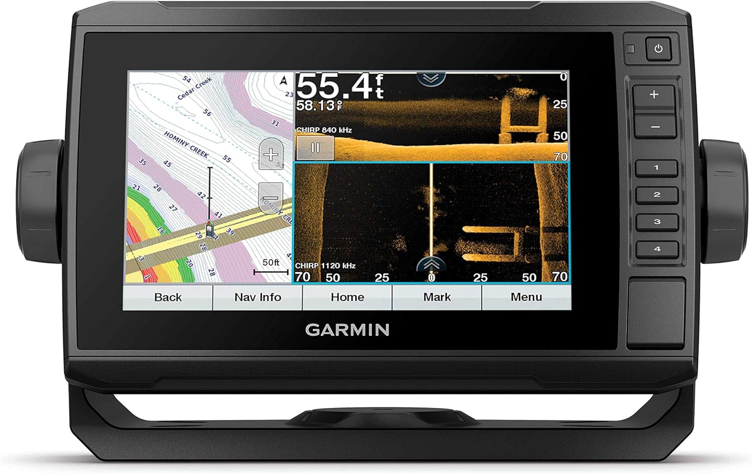
 Marine GPS Chartplotters - Garmin ECHOMAP UHD 73sv, 7" Keyed-Assist Touchscreen Chartplotter with U.S. LakeVü g3 and GT54UHD-TM transducer


Garmin GPSMAP 743xsv Chartplotter/Fishfinder
Marine GPS Chartplotters - Garmin GPSMAP 743xsv Chartplotter/Fishfinder

