
C-MAP Reveal Coastal - US West Coast and Baja California, Map Card for Marine GPS Navigation

$249.00
Features
- SHADED RELIEF: Bring the world around you to life, with 3D rendered land and underwater elevation – including areas of Ultra-High-Res Bathymetric imagery – a game-changer for anglers and divers.
- FULL-FEATURED VECTOR CHARTS: Making navigation easy by giving you accurate, up-to-date vector chart detail derived from official Hydrographic Office information.
- HIGH-RES BATHY: Helps you identify shallow areas, drop-offs, ledges, holes or humps. Now includes compiled and quality-controlled Genesis detail as part of singular HRB layer.
- CUSTOM DEPTH SHADING: Set a clear safety depth, maintain a paper-like view or create your own custom shading.
- DYNAMIC RASTER CHARTS: Providing the traditional chart look and feel, coupled with easy access to all objects on the chart.
Details
Discover a whole new dimension to marine GPS navigation with C-MAP Reveal Coastal Charts. Our charts bring the world around you to life with stunning shaded relief, providing 3D rendered land and underwater elevation. With ultra-high-resolution bathymetry imagery, anglers and divers will have a game-changing tool at their disposal. Explore and uncover the hidden treasures of the sea with C-MAP Reveal.
Navigate with confidence using our full-featured vector charts. Derived from official Hydrographic Office information, these charts provide you with accurate and up-to-date detail. Whether you're cruising or fishing, our vector charts will ensure you have all the information you need to plan your journey and make informed decisions along the way. C-MAP Reveal takes the guesswork out of navigation.
Identifying hazards and features underwater is now easier than ever with our high-resolution bathymetry. Our charts help you spot shallow areas, drop-offs, ledges, holes, and humps with precision. With the inclusion of compiled and quality-controlled Genesis detail, you'll have access to the most comprehensive high-resolution bathymetry available. C-MAP Reveal empowers you to navigate confidently and safely.
Customize your navigational experience with C-MAP Reveal's custom depth shading. Set a clear safety depth, maintain a paper-like view, or create your own custom shading to suit your preferences. With C-MAP Reveal, you have the flexibility to design your chart view and tailor it to your unique needs. Navigating has never been so personalized.
C-MAP Reveal also offers dynamic raster charts that provide the traditional chart look and feel. With easy access to all objects on the chart, you can quickly gather information and make informed navigational decisions. Don't compromise on familiarity and ease of use. C-MAP Reveal gives you the best of both worlds.
Experience the next level of marine GPS navigation with C-MAP Reveal. Unlock the secrets of the sea with our shaded relief, high-resolution bathymetry, vector charts, custom depth shading, and dynamic raster charts. Enhance your navigational journey by investing in C-MAP Reveal today.
Visit our website to learn more and make your purchase now!
Discover More Best Sellers in Marine GPS Chartplotters
Shop Marine GPS Chartplotters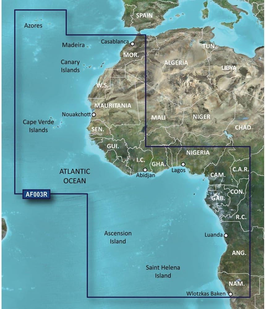
Garmin Bluechart G2 - HXAF003R - Western Africa - microSD/SD
 Marine GPS Chartplotters - Garmin Bluechart G2 - HXAF003R - Western Africa - microSD/SD

Garmin BlueChart® g2 Vision® HD - VUS010R - Southeast Florida - microSD™/SD™
Marine GPS Chartplotters - Garmin BlueChart® g2 Vision® HD - VUS010R - Southeast Florida - microSD™/SD™

Humminbird 600036-2 SmartStrike Great Plains V2 Digital GPS Maps Micro Card
 Marine GPS Chartplotters - Humminbird 600036-2 SmartStrike Great Plains V2 Digital GPS Maps Micro Card

Garmin Topo US 24k Southwest, Garmin MicroSD/SD
Marine GPS Chartplotters - Garmin Topo US 24k Southwest, Garmin MicroSD/SD

Raymarine 9094508 E70364 Axiom 7 Dv Chart Plotter/Down Vision Sonar - No Transducer
 Marine GPS Chartplotters - Raymarine 9094508 E70364 Axiom 7 Dv Chart Plotter/Down Vision Sonar - No Transducer

Humminbird LakeMaster Ontario Edition Digital GPS Lake Maps, Micro SD Card, Version 1
Marine GPS Chartplotters - Humminbird LakeMaster Ontario Edition Digital GPS Lake Maps, Micro SD Card, Version 1

Raymarine E70536-00-NAG Element 12 Hv Combo W/nav+ Us & Canada Chart - No Transducer
Marine GPS Chartplotters - Raymarine E70536-00-NAG Element 12 Hv Combo W/nav+ Us & Canada Chart - No Transducer

Wearable4U - Garmin inReach Mini 2 Satellite Communicator (Flame Red) with Power Pack Bundle
 Marine GPS Chartplotters - Wearable4U - Garmin inReach Mini 2 Satellite Communicator (Flame Red) with Power Pack Bundle

Garmin 010-02093-51 GPSMAP 8616xsv with Mapping and Sonar - 16", Navionics+
Marine GPS Chartplotters - Garmin 010-02093-51 GPSMAP 8616xsv with Mapping and Sonar - 16", Navionics+
